


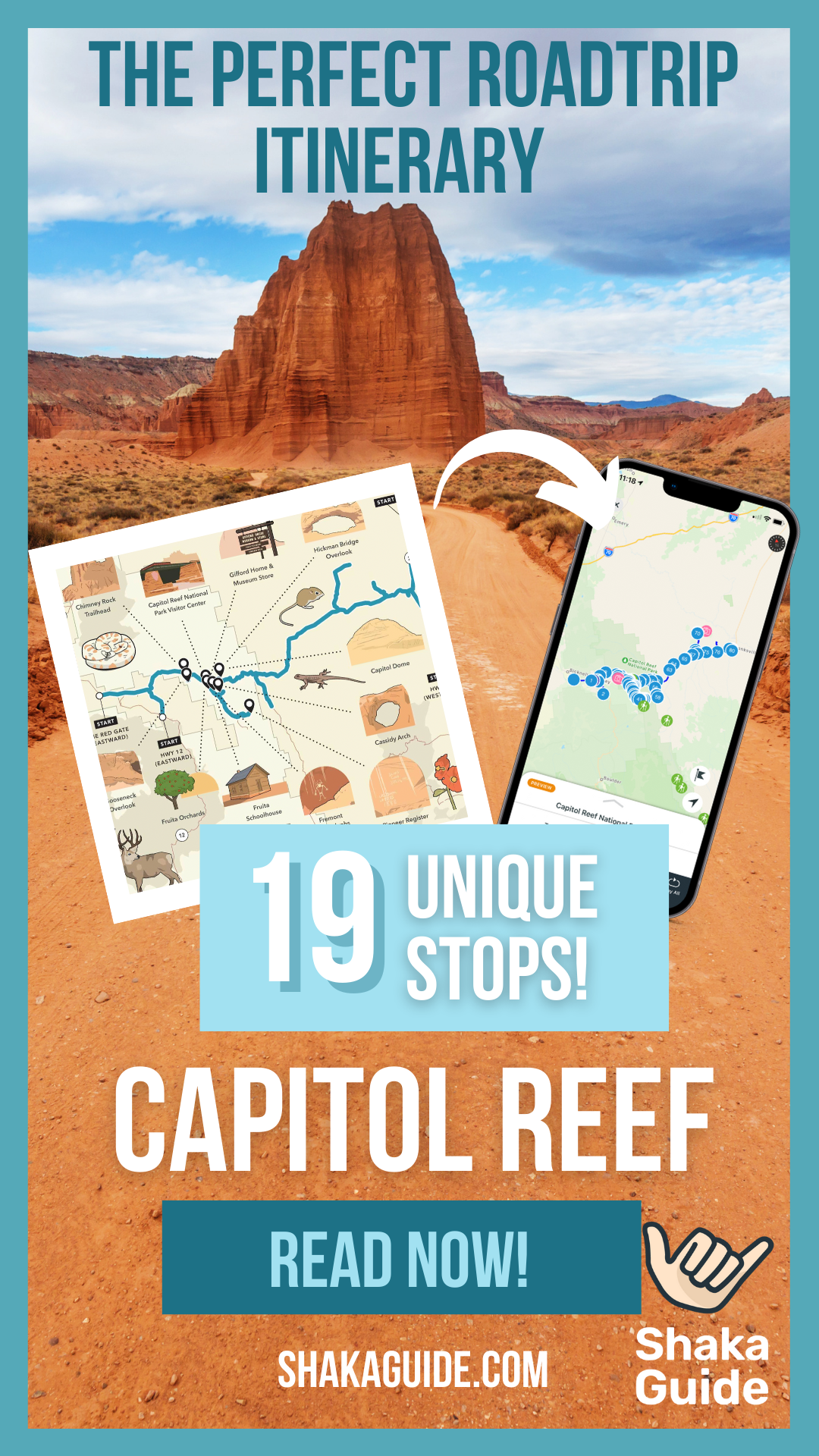
Shaka Guide's Capitol Reef National Park Tour Itinerary


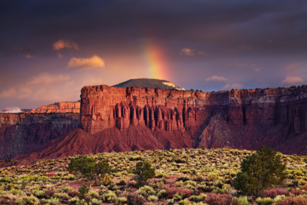
Capitol Reef National Park is one of the Mighty Five national parks in Southern Utah. Often overlooked for the more popular parks like Zion or Arches, Capitol Reef has plenty to offer, and without all the crowds!
Here you will find cliffs and canyons, natural arches and towers, desert plains and desert oases, and so much more.
The defining feature of Capitol Reef is the Waterpocket Fold, a nearly 100-mile-long wrinkle in the earth’s crust.
Millions of years of erosion have revealed a rainbow of colorful rock layers and carved jaw-dropping formations.
But Capitol Reef is more than just a geologist’s dream—it’s a window into the past where you can discover what life was like for the pioneers who settled the region.
Did you know that the Waterpocket Fold was the last area in the contiguous 48 states to be explored? It really is a wild place!
With Shaka Guide leading the way, you’ll explore at your own pace. There’s no schedule to keep or crowd to follow. You’re in the driver’s seat—literally, so take your time!
Or, if you’re in a hurry, feel free to skip a stop. We promise we won’t take it personally. We’ve taken all the guesswork out so all you have to do is enjoy yourself.
This driving tour will take 4 to 6 hours to complete. That’s 2 ½ hours of driving plus time for you to get out and explore.
With nearly 30 stops and 100 points of narration, you can be sure this park deserves its place in the Mighty Five.
We highly recommend you get an early start to your day. The park is open 24/7 but the visitor center opens at 8:30 am.
If you plan to do any hiking, hitting the trails early or in the afternoon will help you avoid the midday heat.
Important Information
If you’re staying in Torrey or Hanksville, the official tour starting points are located about five minutes outside of town.
Starting points include:
- Scenic ByWay 12, five miles south of Torrey
- State Route 24, five miles west of Torrey
- State Route 95, five miles south of Hanksville and
- State Route 24, five miles north of Hanksville
The tour can be taken in both directions, either east-west or west-east, and runs the full length between the two towns of Torrey and Hanksville.
Note: For simplicity’s sake, we will list the itinerary starting from Torrey. The tour makes the same stops regardless of where you start or which direction you travel in.
Capitol Reef National Park Tour Itinerary
We highly recommend you start the tour by 8:00 am. Parking is limited at most of the trailheads and the midday sun can be brutal.
1. Torrey
 Red Rock DmirtyPichugan
It’s a good idea to make sure you’ve got all the supplies you need for the tour before you leave town.
Torrey has the last gas stations you’ll see until you reach Hanksville. There are also several picnic opportunities inside the park so now’s the time to stock up on food and water.
If you’re hungry now, grab a delicious breakfast at Capitol Reef Inn & Cafe or a coffee at Dark Sky Coffee before hitting the road.

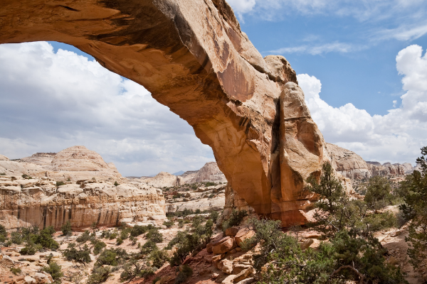
2. Chimney Rock
Chimney Rock is the first rock formation on the tour as well as the first hiking opportunity.
Chimney Rock Loop Trail is a strenuous 3.6-mile hike that climbs 590 feet in elevation.
But at the top, you’re rewarded with a stunning panoramic view from atop the Mummy Cliffs. There’s no need to wear yourself out right away, though.
There will be plenty of hiking opportunities throughout the day. Consider coming back and doing this one later as the views get even better at sunset.
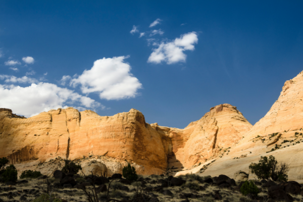
3. Panorama Point
 Panorama Point Capitol Reef - Aurore Kerveorn From Getty Images Signature
If you don’t plan on doing any serious hiking today, don’t fret! There are several great viewpoints that don’t require miles of walking to enjoy. Panorama Point offers a great view just a few feet from your car.
4. Goosenecks Overlook & Sunset Point
The views just don’t stop coming! A short and easy 600-foot walk from your car will take you to Goosenecks Overlook with views over Sulphur Creek and beyond.
Just try to imagine a time when the creek was at the same elevation as you before it eroded the rock and dug down some 600 feet to where it is today.
Once you’ve soaked in that view, there’s a second vantage point just a little further away called Sunset Point.
As the name might suggest, the views here at sunset are simply incredible.
5. Capitol Reef National Park Visitor Center
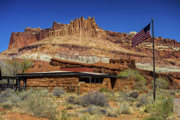 Capitol Reef National Park Visitor Center - AutumnSkyPhotography From Getty Images
You’ll pass two more named rock formations on the way to the Visitor Center.
Feel free to stop in the turnouts near each for photos or drive directly to the Visitor Center.
Here you can view the exhibits and watch a brief film about the park. Don’t miss this opportunity to speak with a park ranger.
Ask about any ranger-led activities for the day like a geology lesson or night sky presentation.
6. Ripple Rock Nature Center & Fruita Orchards
As you leave the Visitor Center, you’ll find yourself driving through the historic Fruita Orchards.
Planted well over 100 years ago by Mormon settlers, the orchards are still producing fruit that you can pick and eat today!
Please be sure to follow the orchard rules and regulations. An easy place to park to enjoy the orchards is the Ripple Rock Nature Center.
If you have kids and you’re visiting during the summer, the Nature Center has programs and activities your children are sure to enjoy.
7. Gifford Home and Museum
The Gifford home offers exhibits detailing what life was like in historic Fruita. They also serve up some fresh pies, made from fruit harvested in the Fruita orchards.
8. The Scenic Drive
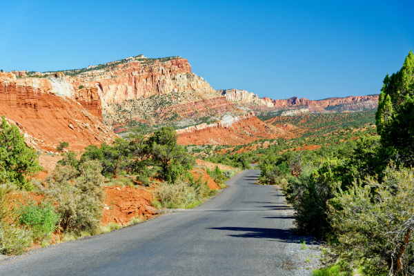 The Scenic Drive - Tristianbnz Getty Images
The Scenic Drive is a 7.9-mile road showcasing fantastic sights. There are also two unpaved spur roads that branch off into canyons.
Don’t worry, normal passenger cars will do just fine—unless the park has closed the roads due to weather.
Flash floods are a real danger. If you see storm clouds, think twice before entering any canyons.
Be mindful of the speed limit and take your time on these roads. Entry to the Scenic Drive costs $20 per car.
9. Grand Wash Spur Road
The spur roads at Capitol Reef offer the chance to see some spectacular geology by car and on foot.
Grand Wash spur road ends at the trailhead for the Grand Wash trail and Cassidy Arch trail.
Grand Wash is an easy hike over flat ground that passes through narrow canyon walls.
Cassidy Arch is a strenuous hike that rises over 400 feet up to the top of Cassidy Arch, named for Butch Cassidy himself.
A turnout along the road also offers a view of Cassidy Arch.
There are additional stops at abandoned uranium mines and Echo Cliff where, you guessed it, you can hear your echo!
10. Capitol Gorge Spur Road
The Scenic Drive ends at the entrance to Capitol Gorge. This is a much longer and winding spur road than Grand Wash.
Once again there will be hiking opportunities at the end and I highly recommend you take the Capitol Gorge trail, at least a little ways in.
A 5-10 minute walk will take you to ancient petroglyphs left by the Fremont culture who lived in the area hundreds of years ago.
Another 10-15 minutes further and you can see the Pioneer Register where pioneers and settlers carved their names into the rocks.
From there you can continue to The Tanks - large divots in the sandstone that collect water and create micro-ecosystems.
You can also hike to a viewpoint of Golden Throne, an impressive mountain peak just north of the gorge.
11. Fruita Schoolhouse
 Historic Fruita Schoolhouse- Sprokop from Getty image
A visit to Fruita isn’t complete without a stop at the Fruita schoolhouse. Peek inside while looking back in time to when a 12-year-old girl was the first and only school teacher in the village!
12. Fremont Petroglyphs
Right down the road from the schoolhouse are more petroglyphs. These are in much better shape than the ones in Capitol Gorge.
Walk the two short wooden walkways to see the images etched into stone.
You can see human figures, animals, and geometric patterns. What kinds of animals can you make out?
13. Capitol Dome and Hickman Bridge
 Capitol Dome and Hickman Bridge - JeffGoulden from Getty images signature
These stops are really piling up on top of each other, aren’t they? Pull into a small parking lot here for views of Capitol Dome, where half of the name Capitol Reef comes from.
The other half, the “reef,” comes from the raised portion of the waterpocket fold which reminded early pioneers of impassable reefs in the ocean.
From this parking lot, you can also take several hikes, including Rim Overlook, Navajo Knobs, and Hickman Bridge which gives you views of two more natural arches.
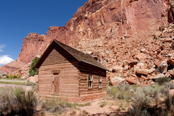
14. Behunin Cabin
The Behunin cabin is a small sandstone structure that once housed a family of 15.
Most of the children had to sleep outside - the girls in the wagon and the boys in a sandstone alcove behind the cabin. Talk about roughing it!
15. Eastern Viewpoint of the Waterpocket Fold
 Portgrimes from Getty images
From atop a hill near some primitive camping sites, this is a terrific view of the Waterpocket Fold from the east.
From here, you can really see the steep angle at which the land rose. At times, the rock layers are nearly 45 degrees to the horizon.
This is a must-see view as we head east and leave the Waterpocket Fold behind.
16. Notom
 Robert_Ford Getty images signature
This is an optional stop but recommended if you have time. There isn’t all that much left to see on the way to Hanksville but we’ve got plenty of fascinating stories to share if you’re interested.
The town of Notom, now not much more than a ghost town, used to be a thriving community much like Fruita.
Here you can visit a rather curious and unique historical marker as well as the grave of yet another of the Behunin children.
FUN FACT! Legend has it that the town of Notom got its name because, when they were thinking up names for the town, there were “no Toms” living there.
17. Mesa Farm Market
If you didn’t have a picnic lunch at the park, you might be pretty hungry by this point!
If you started your tour at 8:00 am and you’re here on the right day, consider stopping for a bite to eat at Mesa Farm Market. It’s local and organic!
18. Factory Butte
Factory Butte stands solitary and beautiful. Don’t miss this awesome viewpoint!
If you’re feeling adventurous and you’re driving an appropriate vehicle, consider driving a little further north for Moonscape Overlook.
But, a word of warning: plan ahead if leaving the recommended route as many of the roads in the area, even inside the park, require high clearance 4-wheel-drive vehicles.
19. Hanksville
You’ve done it, congratulations! You’ve made it to Hanksville and the end of the tour. But there’s still more to see!
Many prospectors staked claims for gold, silver, copper, and more in this area. Few were as ambitious as Ewin T. Wolverton who built his mill in 1921.
The Wolverton Mill, located just a half-mile of Route 24, is unique in the area both for its design and its multifunction as a lumber mill and gold ore processor.
Hanksville is a great place to fill up on food and gas before starting your next adventure.
Also, be sure to check out the Rockin’ Riddle Rock Shop and Carl’s Critter Garden before leaving town.
Like this Article? Share it on Pinterest!
We hope that we’ve given you all the information you need to make the most of your day. Your vacation is extremely important to us so if you have any questions feel free to reach out at aloha@shakaguide.com.
Ready to take the tour? Check out Shaka Guide's Capitol Reef National Park Tour!
Ready to explore Capitol Reef with Shaka Guide? Here’s everything you need to know before you go!
RELATED ARTICLES:
The Ultimate Capitol Reef National Park Travel Guide
Know Before You Go: Shaka Guide's Capitol Reef Nat'l Park Tour
Weather in Capitol Reef National Park - When's the Best Time to Visit?
Capitol Reef National Park Hiking Guide - 33 Hikes in Capitol Reef


 to fuel your ride
